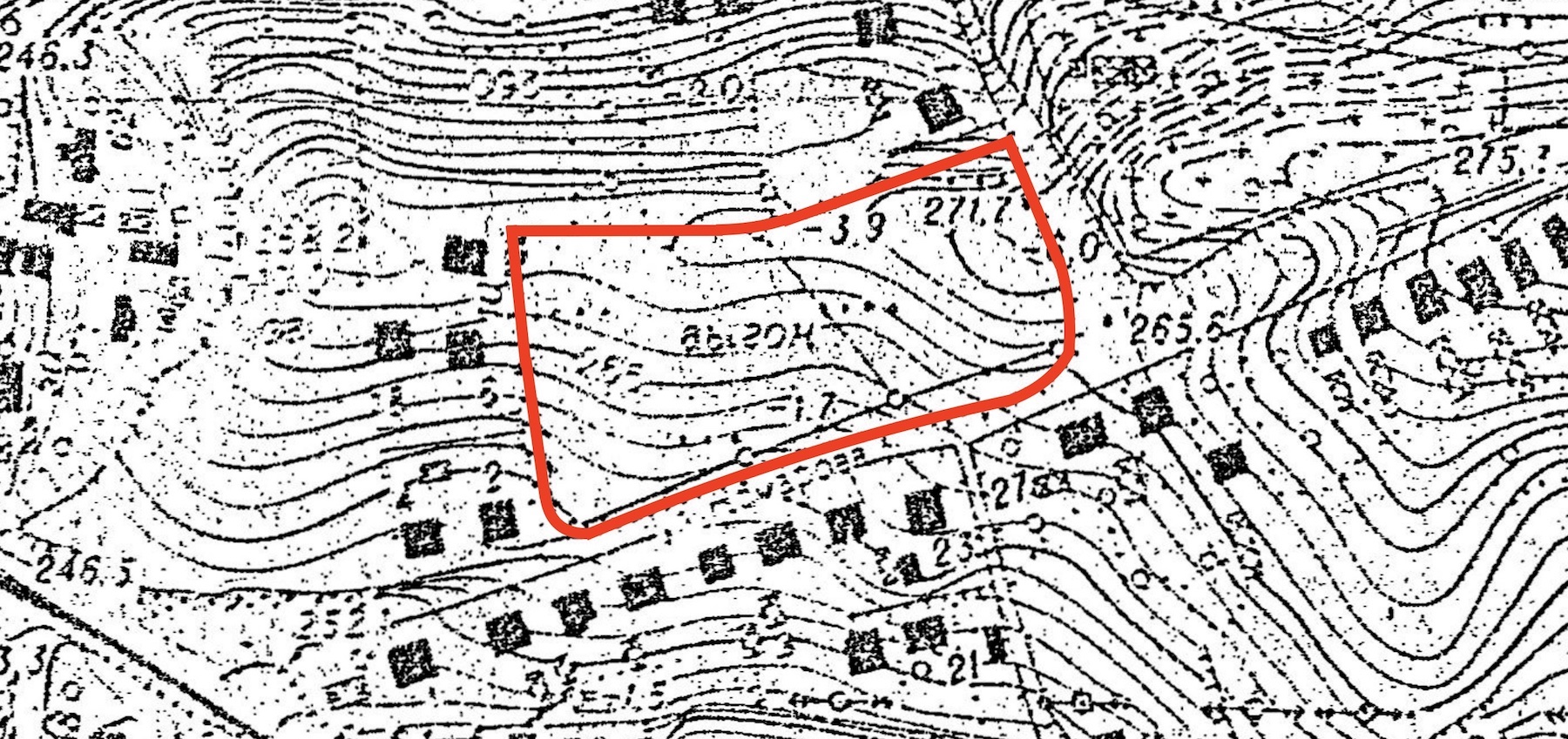
A Soviet topographic map showing the Rohatyn old Jewish cemetery. Image courtesy Routes to Roots Foundation.
A Soviet topographic map showing the Rohatyn old Jewish cemetery
A Soviet topographic map showing the Rohatyn old Jewish cemetery. Image courtesy Routes to Roots Foundation.
A Soviet topographic map showing the Rohatyn old Jewish cemetery